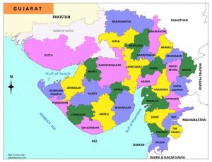
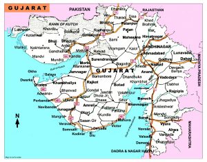
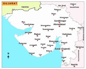
Gujarat Map
Gujarat India is the most industrialized state in the country. Gujarat is situated on the west side of India, bounded by the Arabian Sea to the west, Pakistan to the north, Rajasthan to the north and northeast, Madhya Pradesh to the east and the central states of Daman and Diu and Dadra and Nagar Haveli to the south. Its capital is Gandhinagar.
|
|
|
|
|
|
|
|
1 Comment