Maharashtra

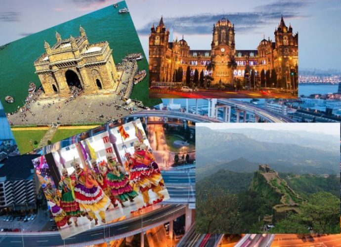
Maharashtra is the second most populous state in India and third-largest by area. Spread over an area of ​​307,713 km 2 (118,809 sq mi), it is bordered by the Arabian Sea in the west, the Indian states of Karnataka, Goa in the south, Telangana in the southeast, Chhattisgarh in theRead More →

Goa the Smallest Sate in India

Goa, one of the smallest states in India, is surrounded by the states of Maharashtra in the north and Karnataka in the east and south and the Arabian Sea in the west. It is the smallest state in India in terms of area and the fourth smallest in terms ofRead More →

rajasthan

Rajasthan is the largest state ​​in India by the terms of area, which is expanded 11% of the land area of the Indian subcontinent. Rajasthan is situated in the northwest of the country. The state shares its international border with Pakistan on the west and northwest sides. It surrounded onRead More →

Website:https://www.tn.gov.in/ Click Here for Tamil Nadu Political Map Tamil Nadu is the eleventh largest state by area and the sixth largest state by population. It lies in the southernmost part of the Indian subcontinent. Chennai is the capital of Tamil Nadu. The union territory of Puducherry and the southern IndianRead More →

Gujarat map

About Gujarat is one of the most industrialized states in India. It is located on the western coast of the Indian peninsula. Its geographical boundaries are, in north-west Pakistan, in the south-west Arabian Sea, Rajasthan in north-east and in east Madhya Pradesh and Maharashtra. Gujarat state is the only oneRead More →

Website:https://kerala.gov.in/ Click Here to Download  Map  Kerala is the state of the southwest of India. The state of Tamil Nadu lies in the East, Karnataka in North, and the Arabian Sea in the west. Malayalam is the official language of the State. Thiruvananthapuram is the capital of Kerala. In 1956,Read More →