View and Download India Map 2019 – Political
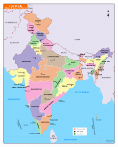
Here you can see and download India map for free and the list of Indian state and Union territories and their capitals. You can use this pdf map for educational and noncommercial purposes.
Indian States and Capitals
India has 28 states and 9 union territories. Some states have two capitals because of their extreme weather conditions. They are shifting their capital in winter and summer between the two cities.
Here is the list of Indian states and capitals in India Map
| S.No | State | Capitals | |
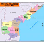
| 1 | Andhra Pradesh | Hyderabad (de jure) | |
| Amaravati (de facto) | |||
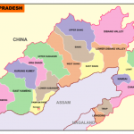
| 2 | Arunachal Pradesh | Itanagar | |
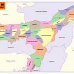
| 3 | Assam | Dispur | |
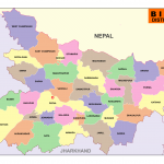
| 4 | Bihar | Patna | |
| 5 | Chhattisgarh | Naya Raipur | |
| 6 | Goa | Panaji | |
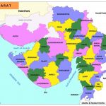
| 7 | Gujarat | Gandhinagar | |
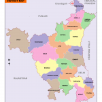
| 8 | Haryana | Chandigarh | |
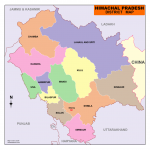
| 9 | Himachal Pradesh | Shimla (Summer) | |
| Dharamshala (Winter) | |||
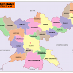
| 10 | Jharkhand | Ranchi | |
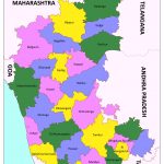
| 11 | Karnataka | Bangalore | |
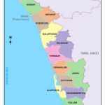
| 12 | Kerala | Thiruvananthapuram | |
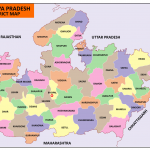
| 13 | Madhya Pradesh | Bhopal | |
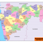
| 14 | Maharashtra | Mumbai | |
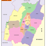
| 15 | Manipur | Imphal | |
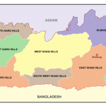
| 16 | Meghalaya | Shillong | |
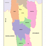
| 17 | Mizoram | Aizawl | |
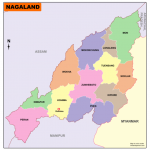
| 18 | Nagaland | Kohima | |
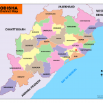
| 19 | Odisha | Bhubaneswar | |
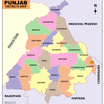
| 20 | Punjab | Chandigarh | |
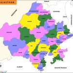
| 21 | Rajasthan | Jaipur | |
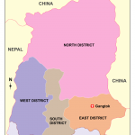
| 22 | Sikkim | Gangtok | |
| 23 | Tamil Nadu | Chennai | |
| 24 | Telangana | Hyderabad | |
| 25 | Tripura | Agartala | |
| 26 | Uttar Pradesh | Lucknow | |
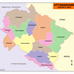
| 27 | Uttarakhand | Dehradun | |
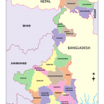
| 28 | West Bengal | Kolkata |
India Map 2019
Download the List of Indian States and Capitals in Pdf
List of Seven Union Territories of India Map 2019 and their Capitals
| S.NO | Union Territory | Capitals |
| 1. | Andaman & Nicobar Islands | Port Blair |
| 2. | Chandigarh | Chandigarh |
| 3. | Dadra & Nagar Haveli | Silvasa |
| 4. | Daman & Diu | Daman |
| 5. | Lakshadweep | Kavaratti |
| 6. | Puducherry | Puducherry |
| 7 | Delhi (NCT – National Capital Territory) | New Delhi |
| 8 | Jammu & Kashmir | Srinagar (Summer) |
| Jammu (Winter) | ||
| 9 | Ladakh | Kargil |
Download India Map 2019 Political with Jammu & Kashmir and Ladakh

